Clarity.From above. Roof & building imagery, property photography and aerial video.
✓ FAA Part 107 licensed✓ Insured for every flight
Explore our services ↓ BOONE COUNTY AERIAL LOCAL ROOTS. OPEN SKIES. Illustrative imagery
+ 01 / WHAT WE DO
A new angle.A practical purpose. Drone inspection imagery, property photography and construction progress.
01 / INSPECT ↗ Building inspections Roofs, facades and hard-to-reach exterior details.
Explore inspections ↗ 02 / SHOWCASE ↗ Property & land Homes, acreage and the setting that makes them.
Explore property imagery ↗ 03 / DOCUMENT ↗ Construction progress A visual record of what’s taking shape.
Explore progress capture ↗ Looking for film, social content or something more specific? Explore all 16 services ↗
02 / THE DETAILS THAT MATTER Know what’sup there. Exterior imagery you can put in front of your roofer, contractor or property team.
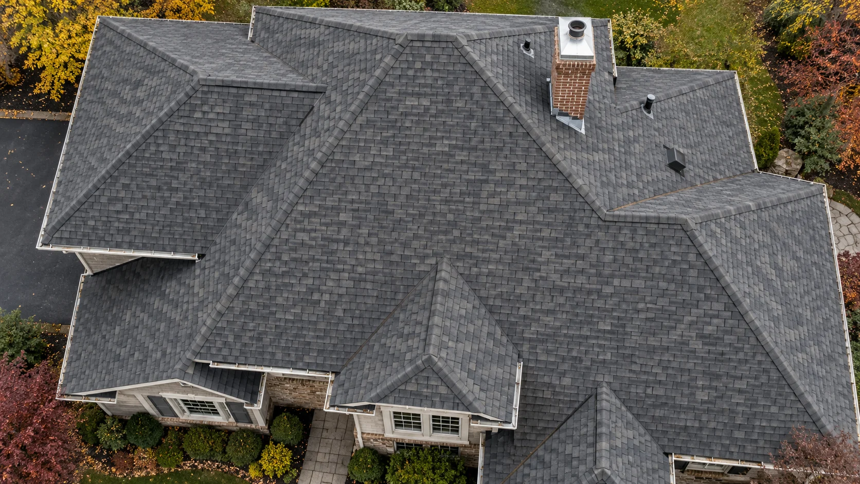
01 02 03 01 / ROOF SURFACES The surface tells a story. Detailed visible-light imagery of agreed roof areas.
Illustrative capture · Select a marker Visual documentation only. Structural diagnosis, thermal imaging and certified surveys require specialist services.
03 / BEYOND THE BUILDING A senseof place. Aerial film, vertical content and wide-open stories.
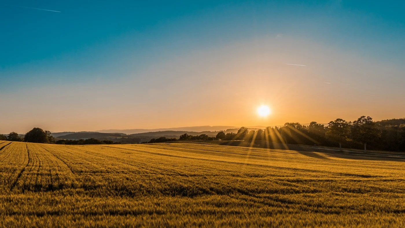
Explore aerial storytelling ↗ Representative landscape photography 04 / FROM BRIEF TO FLIGHT
Thoughtful in the air.Simple on the ground. 01 Define the view. Share your location and what you need to see.
02 Make a plan. Agree the scope, quote and flight conditions.
03 Get the picture. Receive the agreed photos, footage or edits.
BOONE COUNTY, MISSOURI Our home.Your higher ground. Columbia · Ashland · Centralia
See coverage & flight planning ↗ Plan a local project ↗ What can the aircraft capture?+ Our DJI Mini 5 Pro captures up to 50MP stills, 4K video and true vertical footage. It uses a visible-light camera, with no thermal or survey-grade LiDAR payload. Aircraft specifications ↗
How are projects priced?+ By location, access, capture time and final deliverables. Scope and pricing are agreed before booking; flights depend on permissions and suitable weather.
Is this a technical building assessment?+ No. Aerial imagery documents visible exterior conditions. A qualified professional must assess defects, hidden damage, structural integrity or survey measurements.
Are you licensed and insured?+ Yes. Flights are operated by an FAA Part 107 licensed pilot and insured for every flight. Flight planning still depends on airspace permissions, property access and safe conditions.
The files fit the job. High-resolution photos, 4K footage or finished edits. Agreed before takeoff.
A DIFFERENT PERSPECTIVE STARTS HERE.
Let’s takea look. Plan your flight ↗
× PRIVACY & IMAGERY A clear picture. The planner keeps your entries in this page until you choose “Send request.” Your name, email, project location, timing, selected services and notes are then sent through FormSubmit to weigelhq@gmail.com so Boone County Aerial can respond. FormSubmit retains submissions for 30 days. Email records remain in our inbox for inquiry and project follow-up. To request removal, email weigelhq@gmail.com .
No advertising analytics are used. The hosting provider receives standard request information.
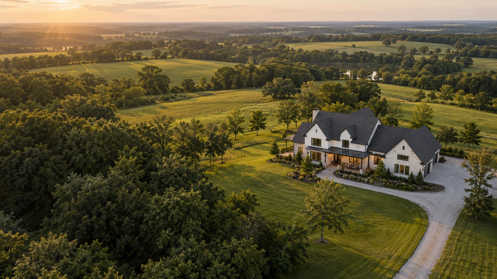
Architectural and inspection imagery is AI-generated for illustration. It does not show completed client work. The landscape image is representative photography from Unsplash .
Flights are operated by an FAA Part 107 licensed pilot and insured for every flight. Projects remain subject to required permissions, site access and safe flight conditions.
 A CLOSER LOOK